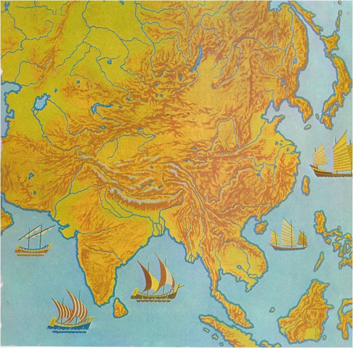
UNTIL 1947, when the Moslem state of Pakistan was carved out of its western and eastern corners, the entire triangle of land that points south from the Himalaya Mountains into the Indian Ocean was known as India. Geographers call this huge land mass a subcontinent, because it is almost completely cut off from the rest of the continent of Asia. The Himalayas on its northern frontier form a continuous barrier of rock, the highest in the world. “MOTHER GANGES” From the southern slopes of the Himalayas, two great rivers run down to the ocean. The valley of the Indus River, on the west, is mainly desert; overlooking it are the only breaks in the Himalayan wall, the Khyber Pass and the Bolan Pass. The valley of the Ganges River, on the east, is a broad, fertile plain. Indians consider this river holy and call it “Mother Ganges.” Together, the Indus and Ganges Valleys make up North India. South of the Ganges Plain rise the Vindhya Mountains. To the south stretches a very large region of hilly uplands, called the Deccan. At its western and eastern edges the Deccan drops suddenly to coastal plains, forming long mountain walls called Ghats. The Vindhyas, the Deccan, the Ghats and the strips of lowland along the coasts make up South India. INVADERS FROM THE NORTH Geography influences history. This is particularly true of India — so much so, in fact, that North and South India have really had two separate histories. From earliest times, the people in both parts of the country were mostly poor farmers, living in villages. They shared the beliefs of the Hindu religion. Hinduism taught them that life was only a dream, they paid little attention, north or south, to the events that took place in their lifetimes. Otherwise, however, …
Read More »